
Articles | Volume 1, issue 1
https://doi.org/10.5194/eo-1-121-2026
© Author(s) 2026. This work is distributed under
the Creative Commons Attribution 4.0 License.
the Creative Commons Attribution 4.0 License.
https://doi.org/10.5194/eo-1-121-2026
© Author(s) 2026. This work is distributed under
the Creative Commons Attribution 4.0 License.
the Creative Commons Attribution 4.0 License.
Brief communication
| 
25 Sep 2026
Brief communication |
| 25 Sep 2026
| 25 Sep 2026
Brief communication: InSAR Svalbard Ground Motion Service – observing surface displacements in the High Arctic
Marie Bredal
CORRESPONDING AUTHOR

Geological Survey of Norway, Trondheim, 7040, Norway
NORCE Research AS, Tromsø, 9294, Norway
Lotte Wendt
NORCE Research AS, Tromsø, 9294, Norway
Heidi Hindberg
NORCE Research AS, Tromsø, 9294, Norway
Daniel Stødle
NORCE Research AS, Tromsø, 9294, Norway
Tom Rune Lauknes
NORCE Research AS, Tromsø, 9294, Norway
Jelte van Oostveen
NORCE Research AS, Tromsø, 9294, Norway
Yngvar Larsen
NORCE Research AS, Tromsø, 9294, Norway
Gökhan Aslan
Geological Survey of Norway, Trondheim, 7040, Norway
Emma Hauglin
Geological Survey of Norway, Trondheim, 7040, Norway
John Dehls
Geological Survey of Norway, Trondheim, 7040, Norway
Anja Sundal
Norwegian Space Agency (NoSA), Oslo, 0277, Norway
Department of Geosciences, University of Oslo (UiO), Oslo, 0316, Norway
Anna Odh
Norwegian Space Agency (NoSA), Oslo, 0277, Norway
Dag Anders Moldestad
Norwegian Space Agency (NoSA), Oslo, 0277, Norway
Related authors
John Dehls, Yngvar Larsen, Marie Bredal, Gökhan Aslan, and Dag Anders Moldestad
Int. Arch. Photogramm. Remote Sens. Spatial Inf. Sci., XLIX-B3-2026, 1457–1464, https://doi.org/10.5194/isprs-archives-XLIX-B3-2026-1457-2026, https://doi.org/10.5194/isprs-archives-XLIX-B3-2026-1457-2026, 2026
John Dehls, Yngvar Larsen, Marie Bredal, Gökhan Aslan, and Dag Anders Moldestad
Int. Arch. Photogramm. Remote Sens. Spatial Inf. Sci., XLIX-B3-2026, 1457–1464, https://doi.org/10.5194/isprs-archives-XLIX-B3-2026-1457-2026, https://doi.org/10.5194/isprs-archives-XLIX-B3-2026-1457-2026, 2026

Lotte Wendt, Line Rouyet, Hanne H. Christiansen, Tom Rune Lauknes, and Sebastian Westermann
The Cryosphere, 20, 1179–1197, https://doi.org/10.5194/tc-20-1179-2026, https://doi.org/10.5194/tc-20-1179-2026, 2026
Short summary
Short summary
In permafrost environments, the ground surface moves due to the formation and melt of ice in the ground. This study compares ground surface displacements measured from satellite images against field data of ground ice contents. We find good agreement between the detected seasonal subsidence and observed ground ice melt. Our results show the potential of satellite remote sensing for mapping ground ice variability, but also indicate that ice in excess of the pore space must be considered.
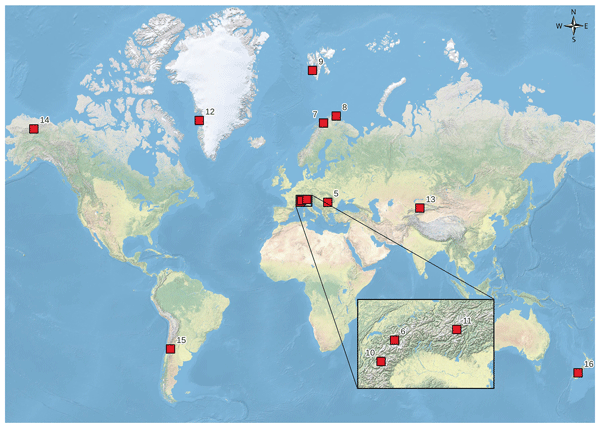
Line Rouyet, Tobias Bolch, Francesco Brardinoni, Rafael Caduff, Diego Cusicanqui, Margaret Darrow, Reynald Delaloye, Thomas Echelard, Christophe Lambiel, Cécile Pellet, Lucas Ruiz, Lea Schmid, Flavius Sirbu, and Tazio Strozzi
Earth Syst. Sci. Data, 17, 4125–4157, https://doi.org/10.5194/essd-17-4125-2025, https://doi.org/10.5194/essd-17-4125-2025, 2025
Short summary
Short summary
Rock glaciers are landforms generated by the creep of frozen ground (permafrost) in cold-climate mountains. Mapping rock glaciers contributes to documenting the distribution and the dynamics of mountain permafrost. We compiled inventories documenting the location, the characteristics, and the extent of rock glaciers in 12 mountain regions around the world. In each region, a team of operators performed the work following common rules and agreed on final solutions when discrepancies were identified.
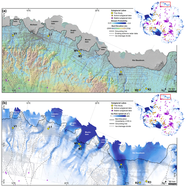
Jennifer F. Arthur, Calvin Shackleton, Geir Moholdt, Kenichi Matsuoka, and Jelte van Oostveen
The Cryosphere, 19, 375–392, https://doi.org/10.5194/tc-19-375-2025, https://doi.org/10.5194/tc-19-375-2025, 2025
Short summary
Short summary
Lakes can form beneath the large ice sheets and can influence ice-sheet dynamics and stability. Some of these subglacial lakes are active, meaning that they periodically drain and refill. Here we report seven new active subglacial lakes close to the Antarctic Ice Sheet margin using satellite measurements of ice surface height changes in a region where little was known previously. These findings improve our understanding of subglacial hydrology and will help refine subglacial hydrological models.

Karianne S. Lilleøren, Bernd Etzelmüller, Line Rouyet, Trond Eiken, Gaute Slinde, and Christin Hilbich
Earth Surf. Dynam., 10, 975–996, https://doi.org/10.5194/esurf-10-975-2022, https://doi.org/10.5194/esurf-10-975-2022, 2022
Short summary
Short summary
In northern Norway we have observed several rock glaciers at sea level. Rock glaciers are landforms that only form under the influence of permafrost, which is frozen ground. Our investigations show that the rock glaciers are probably not active under the current climate but most likely were active in the recent past. This shows how the Arctic now changes due to climate changes and also how similar areas in currently colder climates will change in the future.
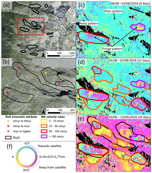
Aldo Bertone, Chloé Barboux, Xavier Bodin, Tobias Bolch, Francesco Brardinoni, Rafael Caduff, Hanne H. Christiansen, Margaret M. Darrow, Reynald Delaloye, Bernd Etzelmüller, Ole Humlum, Christophe Lambiel, Karianne S. Lilleøren, Volkmar Mair, Gabriel Pellegrinon, Line Rouyet, Lucas Ruiz, and Tazio Strozzi
The Cryosphere, 16, 2769–2792, https://doi.org/10.5194/tc-16-2769-2022, https://doi.org/10.5194/tc-16-2769-2022, 2022
Short summary
Short summary
We present the guidelines developed by the IPA Action Group and within the ESA Permafrost CCI project to include InSAR-based kinematic information in rock glacier inventories. Nine operators applied these guidelines to 11 regions worldwide; more than 3600 rock glaciers are classified according to their kinematics. We test and demonstrate the feasibility of applying common rules to produce homogeneous kinematic inventories at global scale, useful for hydrological and climate change purposes.
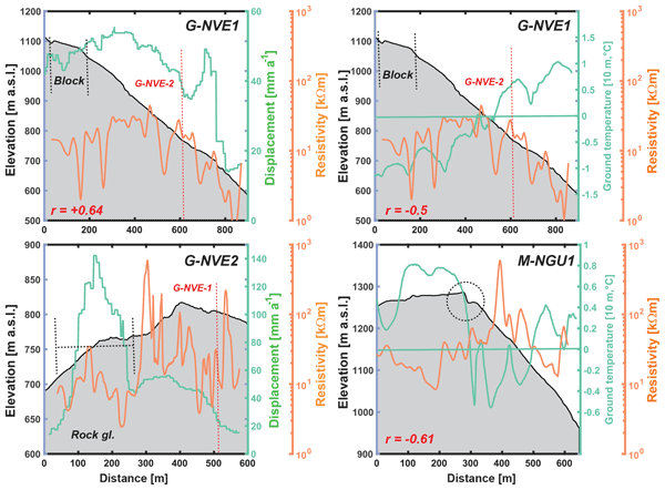
Bernd Etzelmüller, Justyna Czekirda, Florence Magnin, Pierre-Allain Duvillard, Ludovic Ravanel, Emanuelle Malet, Andreas Aspaas, Lene Kristensen, Ingrid Skrede, Gudrun D. Majala, Benjamin Jacobs, Johannes Leinauer, Christian Hauck, Christin Hilbich, Martina Böhme, Reginald Hermanns, Harald Ø. Eriksen, Tom Rune Lauknes, Michael Krautblatter, and Sebastian Westermann
Earth Surf. Dynam., 10, 97–129, https://doi.org/10.5194/esurf-10-97-2022, https://doi.org/10.5194/esurf-10-97-2022, 2022
Short summary
Short summary
This paper is a multi-authored study documenting the possible existence of permafrost in permanently monitored rockslides in Norway for the first time by combining a multitude of field data, including geophysical surveys in rock walls. The paper discusses the possible role of thermal regime and rockslide movement, and it evaluates the possible impact of atmospheric warming on rockslide dynamics in Norwegian mountains.
Cited articles
Berardino, P., Fornaro, G., Lanari, R., and Sansosti, E.: A new algorithm for surface deformation monitoring based on small baseline differential SAR interferograms, IEEE Trans. Geosci. Remote Sens., 40, 2375–2383, https://doi.org/10.1109/TGRS.2002.803792, 2002.
Bredal, M., Rouyet, L., Wendt, L., Hindberg, L., Stødle, D., Lauknes, T. R., Aslan, G., Hauglin, E., Dehls, J., Sundal, A., and Moldestad, D. A.: InSAR Svalbard Ground Motion Service: Observing Surface Displacements in the High Arctic, Zenodo [data set], https://doi.org/10.5281/zenodo.18442696, 2026a.
Bredal, M., Rouyet, L., Wendt, L., Hindberg, L., Stødle, D., Lauknes, T. R., Aslan, G., Hauglin, E., Dehls, J., Sundal, A., and Moldestad, D. A.: InSAR Svalbard Ground Motion Service: Product Description and User Manual, Geological Survey of Norway, NORCE Research AS and Norwegian Space Agency, https://svalbard.insar.no/docs/User-manual-InSAR-Svalbard.pdf (last access: 22 September 2026), 2026b.
Duchossois, G., Strobl, P., Toumazou, V., Antunes, S., Bartsch, A., Diehl, T., Dinessen, F., Eriksson, P., Garric, G., Holmund, K., Houssais, M.-N., Jindrova, M., Kern, M., Muñoz-Sabater, J., Nagler, T., Nordbeck, O., and de Witte, E.: User Requirements for a Copernicus Polar Mission – Phase 2 Report, EUR 29144 EN, Publications Office of the European Union, Luxembourg, ISBN 978-92-79-80960-6, JRC111068, https://doi.org/10.2760/44170, 2018.
Duchossois, G., Berdahl, M., Diehl, T., Garric, G., Humbert, A., Itkin, P., Jawak, S., and Tietsche, S.: Copernicus Polar Roadmap for Service Evolution, Publications Office of the European Union, Luxembourg, https://doi.org/10.2889/644108, 2024.
Hanssen-Bauer, I., Førland, E. J., Hisdal, H., Mayer, S., Sandø, A. B., and Sorteberg, A.: Climate in Svalbard 2100 – a knowledge base for climate adaptation, Chap. 7, Permafrost, avalanches and landslides, NCCS report no. 1/2019, Norwegian Centre for Climate Services, https://hdl.handle.net/10037/18819 (last access: 22 September 2026), 2019.
Humlum, O., Instanes, A., and Sollid, J. L.: Permafrost in Svalbard: a review of research history, climatic background and engineering challenges, Polar Res., 22, 191–215, https://doi.org/10.1111/j.1751-8369.2003.tb00107.x, 2003.
Liu, L., Schaefer, K. M., Chen, A. C., Gusmeroli, A., Zebker, H. A., and Zhang, T.: Remote sensing measurements of thermokarst subsidence using InSAR, J. Geophys. Res.-Earth Surf., 120, 1935–1948, https://doi.org/10.1002/2015JF003599, 2015.
Nicu, I. C., Rouyet, L., Rubensdotter, L., Sinitsyn, A., Wendt, L., Christiansen, H. H., and Loktu, L.: Permafrost-related hazard, vulnerability and risk estimates for cultural heritage and modern buildings in Svalbard, Zenodo [data set], https://doi.org/10.5281/zenodo.18154592, 2026.
NPI: NP Ortofoto Svalbard WMTS, Basemap service – Svalbard Orthophoto, Norwegian Polar Institute (NPI), https://geodata.npolar.no/ (last access: 22 September 2026), 2026.
Obu, J., Westermann, S., Bartsch, A., Berdnikov, N., Christiansen, H. H., Dashtseren, A., Delaloye, R., Elberling, B., Etzelmüller, B., Kholodov, A., Khomutov, A., Kääb, A., Leibman, M. O., Lewkowicz, A. G., Panda, S. K., Romanovsky, V., Way, R. G., Westergaard-Nielsen, A., Wu, T., Yamkhin, J., and Zou, D.: Northern Hemisphere permafrost map based on TTOP modelling for 2000–2016 at 1 km2 scale, Earth-Sci. Rev., 193, 299–316, https://doi.org/10.1016/j.earscirev.2019.04.023, 2019.
Rouyet, L., Lauknes, T. R., Christiansen, H. H., Strand, S. M., and Larsen, Y.: Seasonal dynamics of a permafrost landscape, Adventdalen, Svalbard, investigated by InSAR, Remote Sens. Environ., 231, 111236, https://doi.org/10.1016/j.rse.2019.111236, 2019.
Rouyet, L., Bredal, M., Lauknes, T.R., Dehls, J., Larsen, Y., van Oostveen, J., Hindberg, H., and Wendt, L.: InSAR Svalbard – User requirement, technical considerations, and product development plan, Report 2-2024-NORCE-Energy and Technology, NORCE Research AS, ISBN 978-82-8408-341-4, https://hdl.handle.net/11250/3125660 (last access: 22 September 2026), 2024.
Samsonov, S. V., Lantz, T. C., Kokelj, S. V., and Zhang, Y.: Growth of a young pingo in the Canadian Arctic observed by RADARSAT-2 interferometric satellite radar, The Cryosphere, 10, 799–810, https://doi.org/10.5194/tc-10-799-2016, 2016.
Scheer, J., Caduff, R., How, P., Marcer, M., Strozzi, T., Bartsch, A., and Ingeman-Nielsen, T.: Thaw-season InSAR surface displacements and frost susceptibility mapping to support community-scale planning in Ilulissat, West Greenland. Remote Sens., 15, 3310, https://doi.org/10.3390/rs15133310, 2023.
Strand, S. M. and Christiansen, H. H.: Permafrost thermal regime and active layer dynamics across periglacial landforms in Svalbard's Nordenskiöld Land Permafrost Observatory, 2008–2023, Arctic Sci., 11, 1–19, https://doi.org/10.1139/as-2024-0027, 2025.
Streletskiy, D. A., Maslakov, A., Grosse, G., Shiklomanov, N. I., Farquharson, L., Zwieback, S., Iwahana, G., Bartsch, A., Liu, L., Strozzi, T., Lee, H., and Debolskiy, M. V.: Thawing permafrost is subsiding in the Northern Hemisphere – review and perspectives, Environ. Res. Lett., 20, 013006, https://doi.org/10.1088/1748-9326/ada2ff, 2025.
Wendt, L., Rouyet, L., Christiansen, H. H., Lauknes, T. R., and Westermann, S.: InSAR sensitivity to active layer ground ice content in Adventdalen, Svalbard, The Cryosphere, 20, 1179–1197, https://doi.org/10.5194/tc-20-1179-2026, 2026.
Zwieback, S. and Meyer, F. J.: Top-of-permafrost ground ice indicated by remotely sensed late-season subsidence, The Cryosphere, 15, 2041–2055, https://doi.org/10.5194/tc-15-2041-2021, 2021.
Zwieback, S., Liu, L., Rouyet, L., Short, N., and Strozzi, T.: Advances in InSAR analysis of permafrost terrain, Permafr. Periglac. Process., 35, 544–556, https://doi.org/10.1002/ppp.2248, 2024.
Short summary
Ground movement can be measured from space by comparing satellite images acquired at different times using a technique known as InSAR. The InSAR Svalbard service provides baseline information on where and how the ground surface is moving, supporting geohazard management, land-use planning, and climate change adaptation, and helping assess impacts on infrastructure and human activities. While such services exist elsewhere, this is the first of its kind in the Arctic.
Ground movement can be measured from space by comparing satellite images acquired at different...


